A close-up of a person wearing denim kneeling in a garden, gently holding and inspecting the feathery green leaves of a growing plant.

Food Systems & Digital Technology

The Food Systems & Digital Technology sector of the Nature & Climate Impact Team works to embed nature and climate considerations directly into agricultural and business decision-making. We are rethinking how food is produced and consumed—from advancing agroecology at the farm level to mobilizing nature-positive investment across global supply chains. By collaborating with partners across the food system, we develop resilient, nature-positive climate-smart approaches that support both people and the planet.


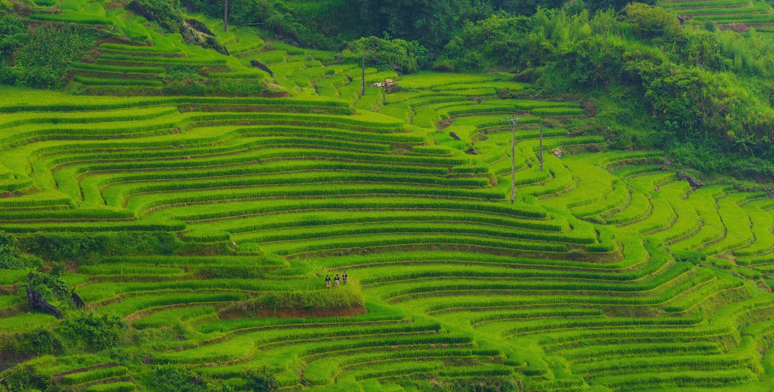
Lush, bright green stepped rice terraces carved into a mountainside, featuring a small wooden hut near the top left and a distant farmer walking along one of the narrow ridges.

OpenAg Rice Pathogen SALM

Climate-smart agricultural AI helping rice farmers manage crop disease

To support climate resilience in agriculture, the Rice Pathogen SALM project is developing a specialized AI tool that gives rice farmers scientifically grounded guidance on crop diseases and pests. By combining agricultural expertise with compact AI that works offline, this collaboration delivers equitable, locally relevant decision support to smallholder farmers.

A group of diverse professionals from the African Natural Capital Alliance Commercial Opportunities Working Group smiling and posing enthusiastically together on stage at the ANCA 2025 Summit.

African Natural Capital Alliance (ANCA) – Commercial Opportunities Working Group:

Connecting developers and financial institutions to scale nature-positive investment in Africa

To unlock systems change in green finance, NCIT partners with the African Natural Capital Alliance (ANCA) to connect financial institutions with nature-positive projects. By co-chairing the Commercial Opportunities Working Group, we are bridging the gap between investors and developers to turn promising ideas into investable propositions across Africa.

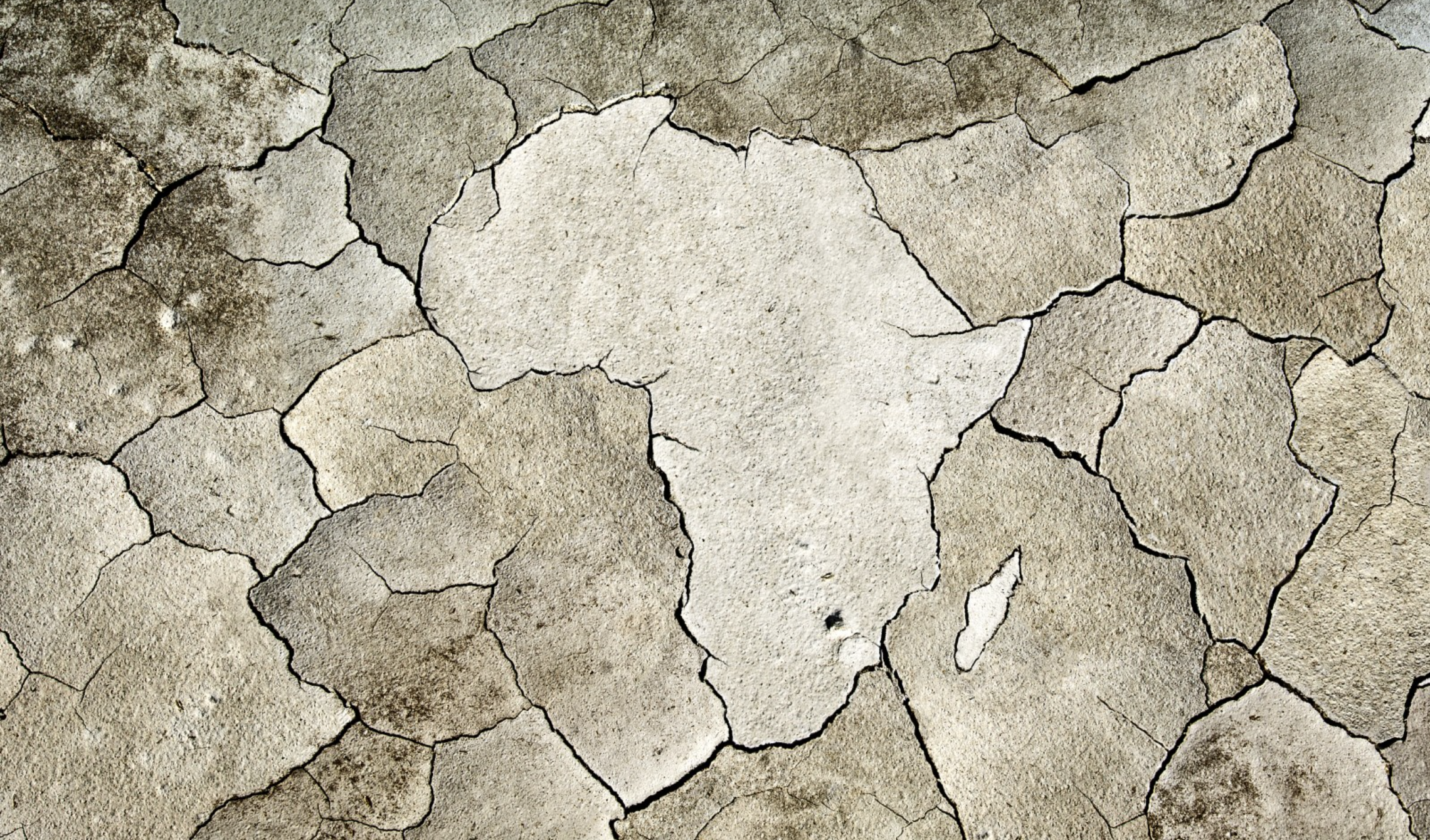
A close-up of dry, cracked earth where the central fractures form the shape of the African continent.

Shifting Crop Hardiness Zones

Mapping tomorrow’s coffee-growing conditions to manage climate risk in Africa

To help food systems adapt to a warming planet, the Shifting Crop Hardiness Zones project created a digital mapping prototype showing how coffee-growing conditions are changing across Kenya, Ethiopia, and Uganda. By visualizing complex environmental data, the tool empowers farmers and policymakers to identify production risks and plan for climate resilience.

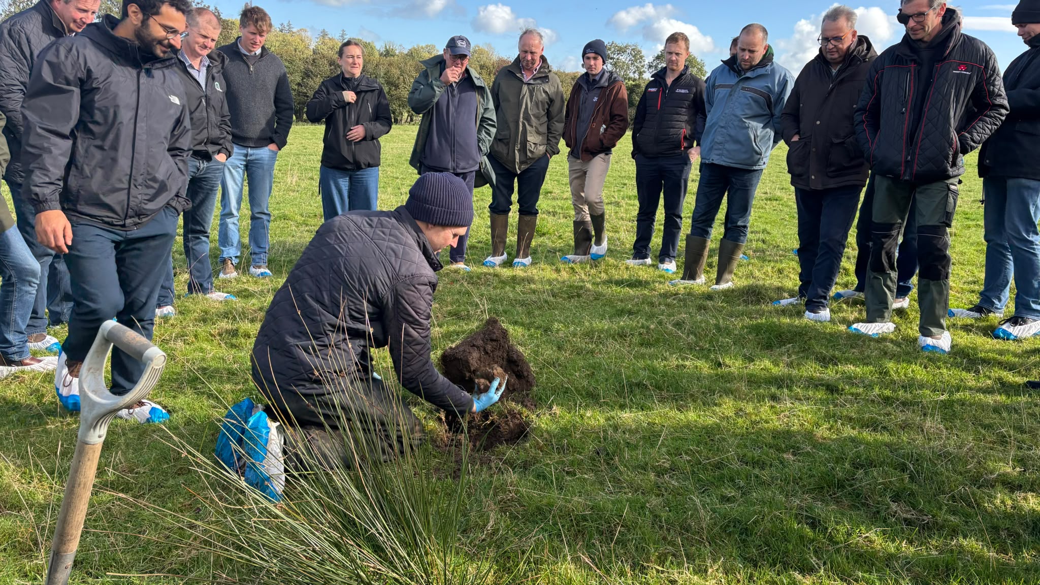
Members of the West Fermanagh Farmers Cluster standing in a grassy field wearing protective blue shoe covers, watching a kneeling man examine a dug-up clump of soil next to a spade.

Upcoming: Fermanagh Food Access, Inclusion and Resilience (FAIR)

Transforming rural landscapes into climate-positive food systems

The Fermanagh FAIR project in Northern Ireland will transform West Fermanagh’s 2,000-farm geopark into a living demonstration landscape. By helping farmers adopt climate-resilient agroecological systems and restore priority habitats like peatlands and wet grasslands, this scalable model for rural landscapes across the UK and Ireland delivers measurable biodiversity uplift and carbon storage while strengthening local supply chains to improve community access to affordable food.

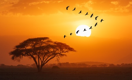
A silhouette of an acacia tree on a savanna landscape against a vibrant orange sunset, with a flock of birds flying in a V-formation past the bright setting sun.

Upcoming: Climate Intelligence Services for Investment (CISI)

Transforming climate forecasts into actionable intelligence for African supply chains

The CISI project partners with the UK Met Office and ICPAC under WISER PASS to transform seasonal climate forecasts and meteorological data into usable knowledge for businesses across Africa. Through market research, private-sector workshops and climate services, the initiative identifies what companies in agriculture, logistics, food systems and finance need to manage weather and climate risk, informing commercial strategy and nature-aligned investment across the Greater Horn of Africa.

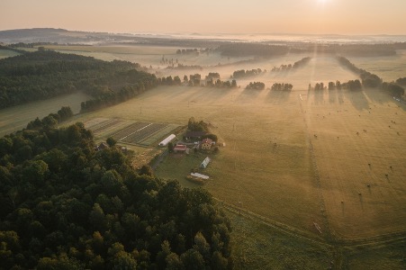
An aerial view of a rural farm landscape at sunrise, featuring golden sunlight and long shadows cutting through morning mist to illuminate fields, a central cluster of farm buildings, and a dense forest.

Upcoming: The Missing Layer: Farm Level Habitat Evidence for Northern Ireland

Empowering Northern Ireland farmers with practical farm-level habitat evidence

The Missing Layer gives Northern Ireland farmers a practical, affordable way to assess the habitat condition of their land. Co-designed by the West Fermanagh Farmers Cluster, Ulster Wildlife and NCIT, the project turns landscape-scale mapping into repeatable insights, creating a scalable evidence “farm-level evidence layer” to support agri-environment compliance, nature-based payments and sustainable supply chains.